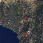


Clear Creek to Spooner Summit Out & Back Ride Details
Challenge:
Single track with a few rock drop offs and in mid to late summer a couple of deep sand sections. Rated Blue/Black for the climbing distance of over 3,000 ft. requiring a higher level of fitness and endurance.
Trailhead:
Clear Creek: 339.0923495, -119.8118615
Spooner Summit: 39.1018452, -119.8867839
The Ride:
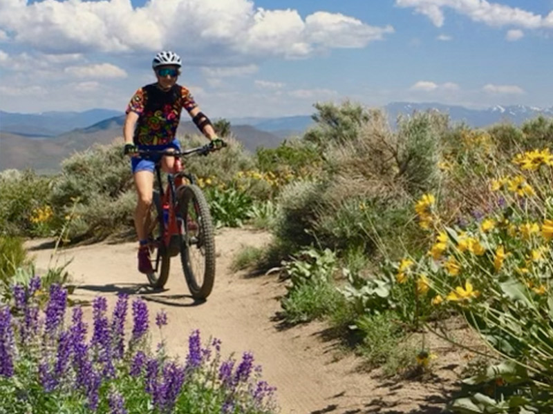
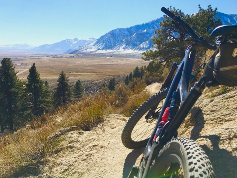
This is a continuation of the Clear Creek Knob ride that begins in the sage brush valley floor and climbs to the alpine forests of Spooner Summit. During peak summer months, the valley temperatures can be quite hot, so plan your ride accordingly; start early and have sufficient water supply. You will cross Clear Creek with running spring water that you could use if you have a proper portable filtration system. The descent is awesome, control your speed and focus due to narrow sections with drop offs and in the lower portion climbing cyclists/hikers and sandy patches.