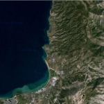
Armstrong Connector Loop Mountain Bike Trail Ride Detail
Challenge:
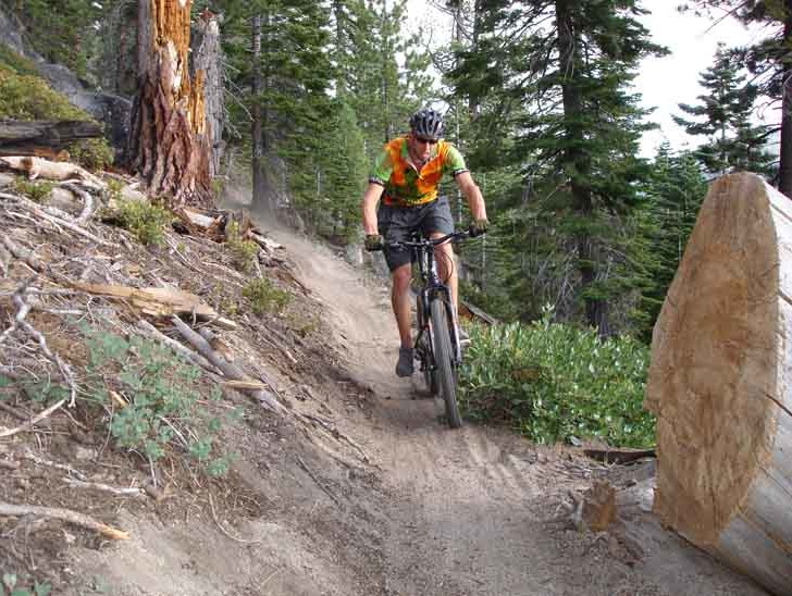
Steep continuous climb on Fountain Place road. This is a fun downhill single track with sections of smooth thread, narrow sandy track, and rocky sections.
Trailhead:
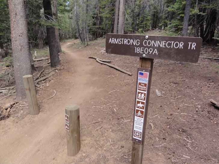
Take Pioneer Trail to Oneidas Rd. and continue to the Corral parking area across the creek. Launch here and ride up Fountain Place Rd to the very end of the pavement. On the left is the Armstrong Connector TR, and to the right the trail leads to Armstrong Pass. Do not cross the Forest Service gate at the end of the road as this is private property.
GPS: 38.856828, -119.940881 (Armstrong TH)
The Ride:
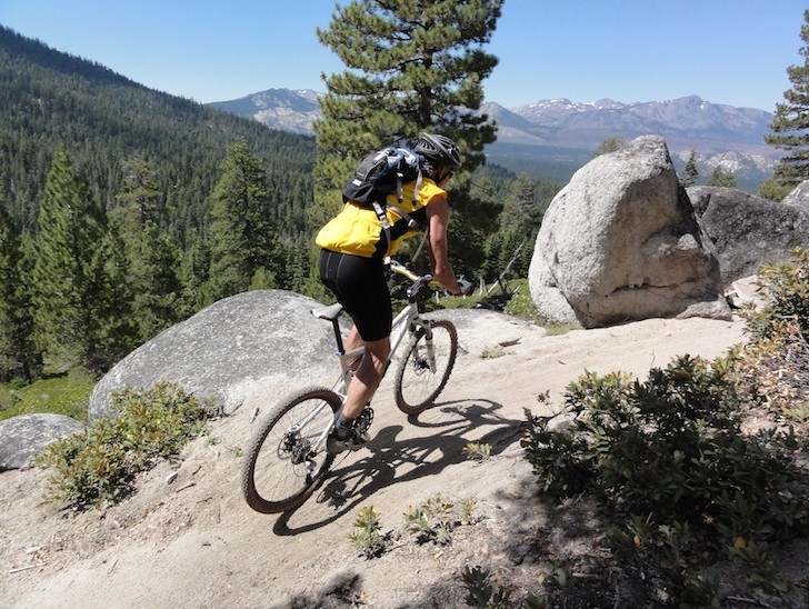
Armstrong Connector Loop Mountain Bike Trail: This is an awesome ride combining technical skills, climbs, and descents with great vistas overlooking Stateline, South Tahoe, Mt. Tallac and the entire lake. You begin and end at Van Sickle Bi-State Park just steps away from a cool beverage, hot snack and shower.
Historical:
A steady climb to test your fitness level but well worth it. Once you launch from the trailhead you will ride through the forest on smooth single track that will steepen in sections with berms, rocky sections, and narrow soft soils where caution is wise. The fun part is that this ride connects to the Corral Trailhead that offers you continuous downhill options on Corral Loop, Sidewinder Loop or Incense Cedar Loop. Whichever descent you choose, you will exit onto Powerline Road where you turn left to return to the parking/launch area.
