Carson River Road Bike Ride Details
Trailhead:
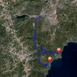
GPS: 38.780113/-119.821324 Carson River Road & Hwy 88
Ride Overview:
For a shorter ride or as another option than Diamond Valley ride, take Carson River Rd. located across Hwy 88 just before Woodfords. This riverside road is 3.47 miles in length and connects to Diamond Valley Rd at Paynesville. Turn left, cross Hwy 88 and you are on Foothill Rd.
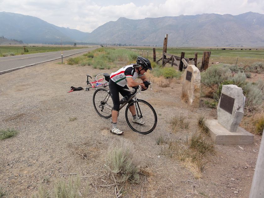
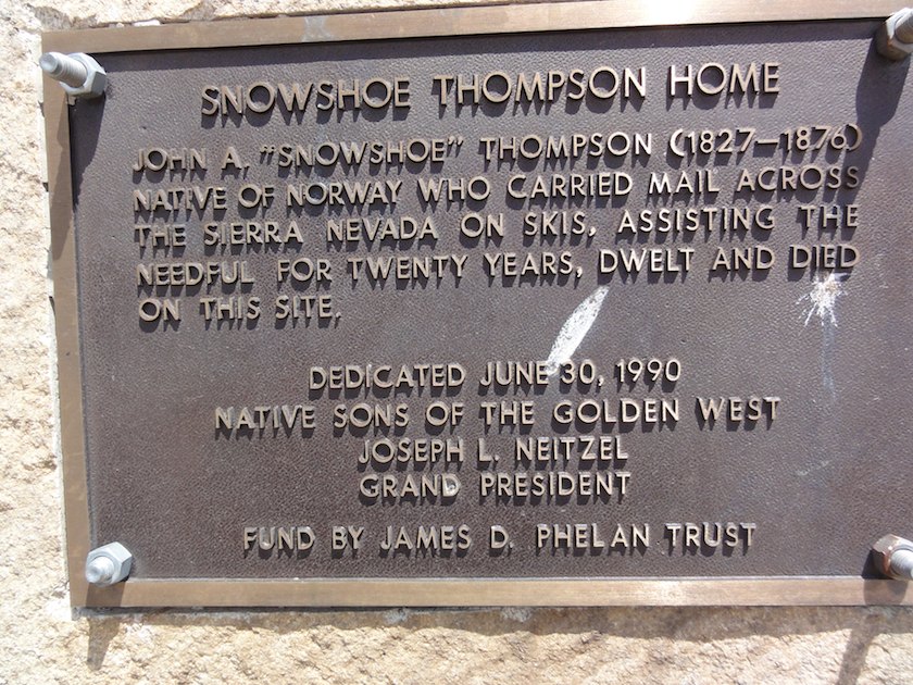
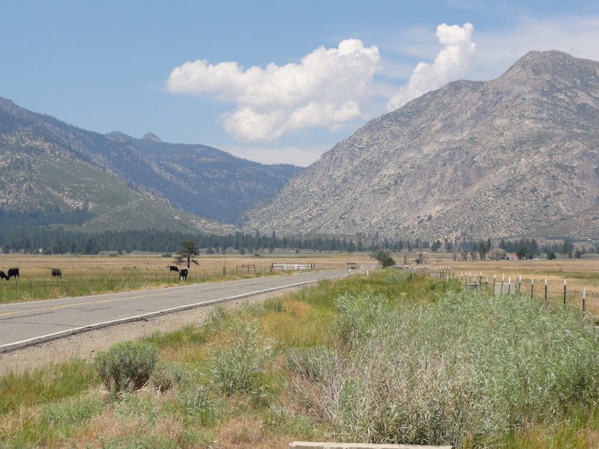 Snowshoe Thompson's front yard and winter route to Sacramento