Blue Lakes Out & Back Ride Details
Challenge:
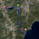
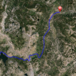
A long and sustained 12 mile climb/descent for a total out back ride of 22.7 miles..
Trailhead:
West bound on Hwy 88 toward Carson Pass turn left on Blue Lakes Road. It’s well signed.
GPS: 38.751483, -119.941897 (Trailhead junction with Hwy 88 and Blue Lakes Road)
The Ride:
Blue Lakes Road Out & Back Road Bike Ride: This is a popular road ride among locals as the road surface is smooth and during the weekdays or in spring and late summer months there are few cars. It is a steady long climb to the lakes, but it’s also a long steady downhill run on the return. There are two Blue Lakes: Upper and Lower. Because of its high elevation the wild flowers can be abundantly colorful in late spring. This is a popular recreation area for camping and fishing. It is closed during winter months.
Preview Ride Area: